Hydrogeological
Surveys & Reports
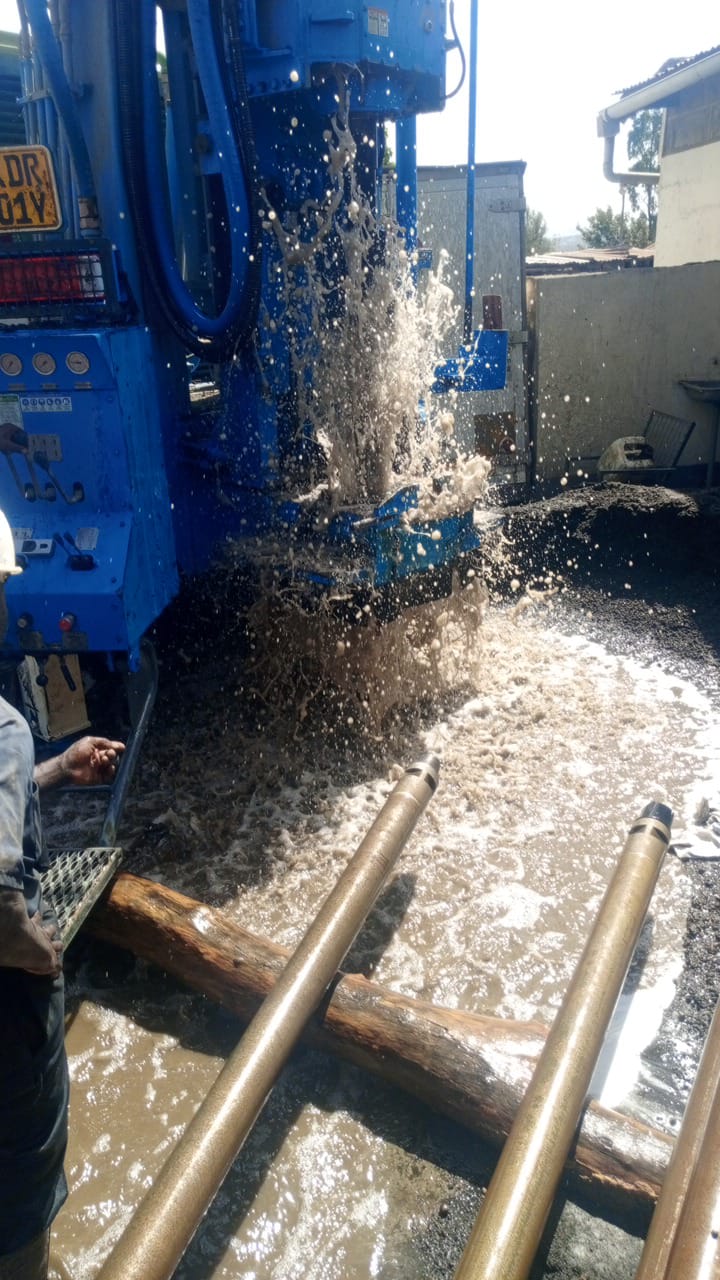
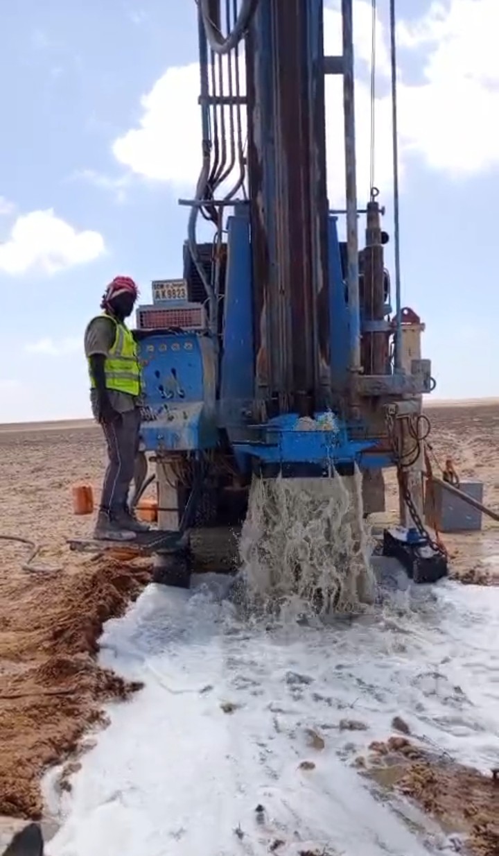
At Copa Waters, our hydrogeological surveys form the scientific backbone of every successful borehole project. Before any drilling begins, our expert geologists conduct thorough subsurface investigations to map aquifer locations, estimate water yields, and identify the most productive drilling points on your land.
Our surveys eliminate the guesswork from borehole drilling. By combining advanced geophysical technology with decades of geological expertise, we ensure that every project begins with a clear, data-driven understanding of the groundwater potential beneath your site.
Our Survey Scope
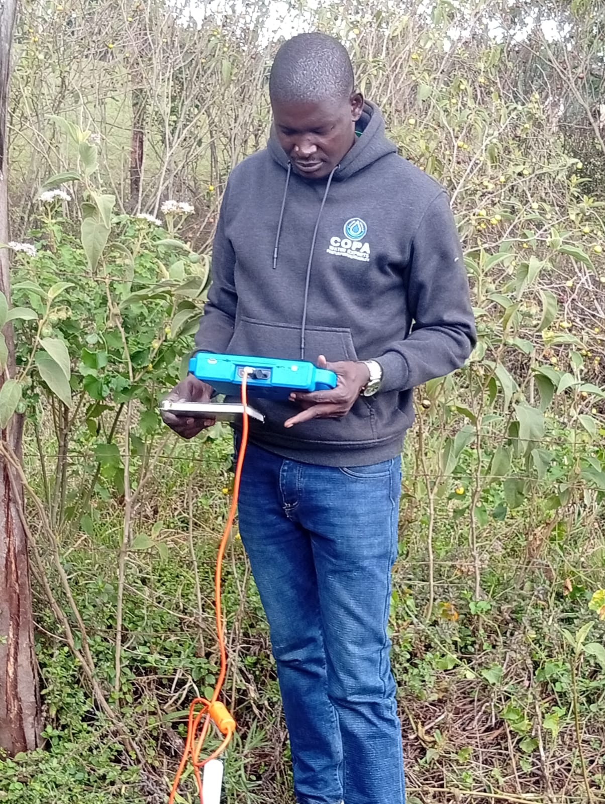
We employ state-of-the-art geophysical instruments and proven scientific methodologies to deliver comprehensive hydrogeological assessments. Our survey scope covers every critical aspect of groundwater exploration:
-
Groundwater Resources Investigation
Comprehensive subsurface exploration to identify and map groundwater reservoirs, determine aquifer depth, thickness, and assess the overall water-bearing potential of your property before any investment is made.
-
Geophysical Surveys for Optimal Drilling Points
Using electrical resistivity, seismic refraction, and electromagnetic methods to pinpoint the exact coordinates where drilling will yield the highest water output with the least geological risk.
-
Geological Mapping & Stratigraphy
Detailed surface and subsurface geological mapping to understand rock formations, soil layers, fault lines, and structural features that influence groundwater flow and storage capacity.
-
Borehole Yield Estimation
Scientific prediction of expected water yield from proposed borehole sites, including recharge rate analysis and sustainable extraction limits to ensure long-term water availability.
-
Comprehensive Survey Reports
Professionally compiled hydrogeological reports with detailed findings, geological cross-sections, drilling recommendations, and regulatory compliance documentation required for permits and approvals.